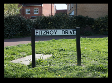
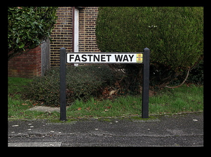
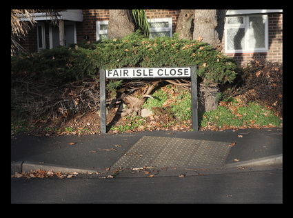
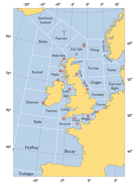
NOTES: The Shipping Forecast is a BBC Radio broadcast of weather reports and forecasts for the seas around the coasts of the British Isles. It is produced by the Met Office (Meteorological Office) and broadcast by BBC Radio 4 on behalf of the Maritime and Coastguard Agency. The waters around the British Isles are divided into 31 sea areas, also known as weather areas (see map below). The sequencing here is the same as on the shipping forecast - i.e. in a roughly clockwise direction around the British Isles


You must be logged in to post a comment.